This crucial work includes establishing maps and boundaries for property ownership, or for legal purposes of buying and selling property. From defining existing land conditions and locations of subsurface features for initial design to staking precise locations for construction, no project can proceed without surveying.
Boundary Survey
Our team specializes in large corridor topographic, boundary, and control surveys.
Whether you live on a ranch, in a subdivision, or a condominium, the limits of your ownership are defined by very specific boundaries. Our survey team’s job is to search for, establish, and record the specific ground-based boundaries that delineate your property. We use deed information, survey records, Public Land Survey monuments and other markers, fences, and historical evidence to accomplish these tasks. The work of our team aids smooth development and helps prevent or resolve boundary disputes. When our boundary work is complete we file a detailed Record of Survey with your county.

State-of-the-Art Survey Equipment
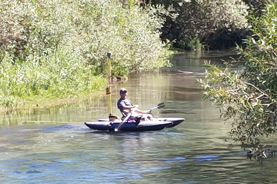
Our equipment includes the JAVAD Triumph 3 base and LS-Plus rover as well as Trimble R10 base and R12 rover units, GPS receivers, Trimble S6 and S7 robotic total stations, the Sea Floor Systems single-beam sonar system, and DJI Phantom RTK Pro drones for photogrammetry. Software used includes the TBC-Trimble Business Center software and Pix4D and Virtual Surveyor photogrammetry software. Additionally, we have UTV’s and ATV’s, snowmobiles, and a jet boat available for our crews whenever they are needed for a project.
Topography & Building Information Modeling (BIM)
We live in a complex, dynamic three-dimensional world. As more engineering, architecture and construction businesses adopt Building Information Modeling (BIM) and integrate it into their workflows, the demand for accurate and controlled 3D site modeling is increasing. Using GPS, robotic total stations, digital levels, drones, and scanners, we collect data from the air and the ground and tie it to a site’s exact position on the Earth. Our surveyors use this data to create a digital simulation of the site including surface features like structures and topography. After processing and refining the 3D model, we process and refine the 3D model then provide that data to design professionals so they can layout roads, subdivisions, buildings, city utilities, and much more.
In addition to topographical survey, our team is well versed in collecting information critical to hydraulic surveys. This includes experience in identifying hydraulics controls, high water information, and critical channel defining features. Other services include:
- Transportation Corridor Mapping
- Aerial Photogrammetric Surveys
- Topographic Maps for Land Development
- Volume Analysis Surveys

Did you know?

The Public Land Survey System
Developed by Thomas Jefferson and encompassing more than 1.5B acres of land, the national Public Land Survey System (PLSS), forms the foundation for how we buy and sell land. A standardized survey system, the PLSS began in Ohio and was based on the Land Ordinance of 1785. This system divided the West into Township and Section grids and is still in use today.
If you’re a Land Surveyor, you’ve probably heard Mount Rushmore described as “3 Surveyors and another guy.” While Washington, Jefferson and Lincoln were technically surveyors, the full history may surprise you.
Did you know?

Boundary Monumentation
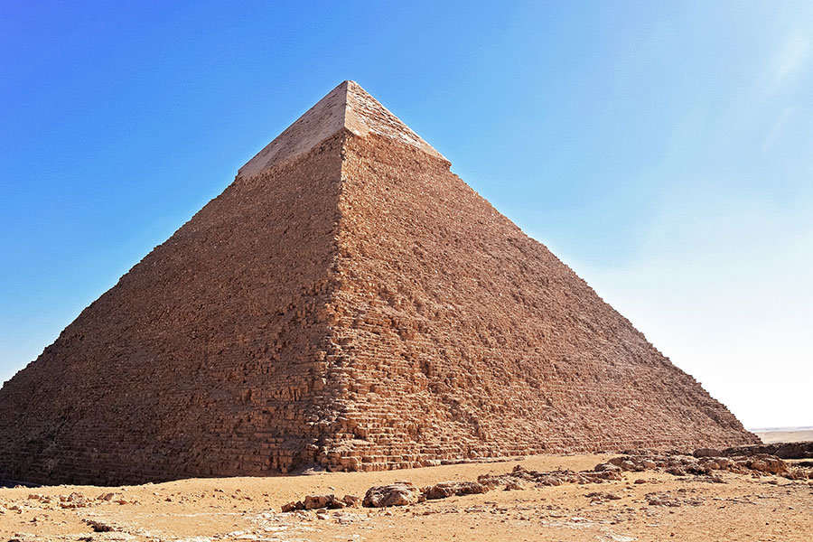
Records dating to the Ancient Egyptians show humans have practiced boundary monumentation and establishment since we first began building large structures. From the Romans to medieval Europe, history holds countless stories of disputes —even wars —starting over property boundaries.
The almost perfect squareness and north–south orientation of the Great Pyramid of Giza, built c. 2700 BC, testifies to the Egyptians’ command of surveying.
